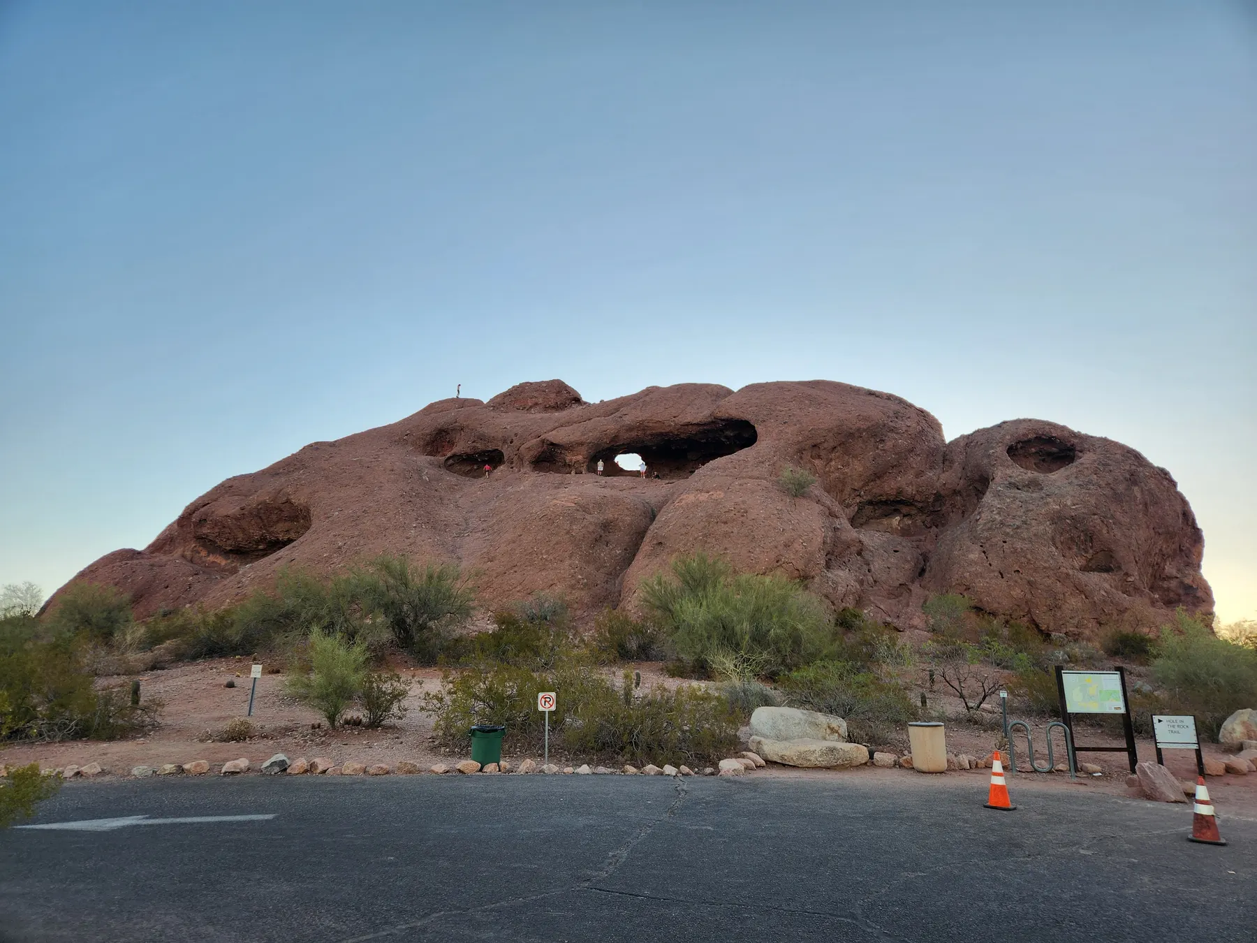
Papago Park with kids
See the terrain in our original photos, compare the outing for different ages, and plan around heat, uneven footing and nearby Phoenix Zoo.
Read the Papago guide → Health & Travels
Arizona made easier for families
Tell us where you’re starting and what fits your family. Choose from a short list, then review and save your day plan with Sage. Free, with no account needed.
Already have a destination? Open Sage
1 · Choose
Five quick choices. Add comfort or food needs only if they matter to your day.
Browse Arizona guides or choose a destination in Sage.
Save these ideas on your device or email the shortlist to yourself. You can save the complete day plan in Sage after choosing an outing.
Start with a complete guide
Explore original field photos and practical advice from Health & Travels. Choose an outing that fits your group before building your itinerary.
Not sure where to begin? Use the Arizona Family Adventure Hub to choose by age, season, drive time, shade, bathrooms and trip style.
See the terrain in our original photos, compare the outing for different ages, and plan around heat, uneven footing and nearby Phoenix Zoo.
Read the Papago guide →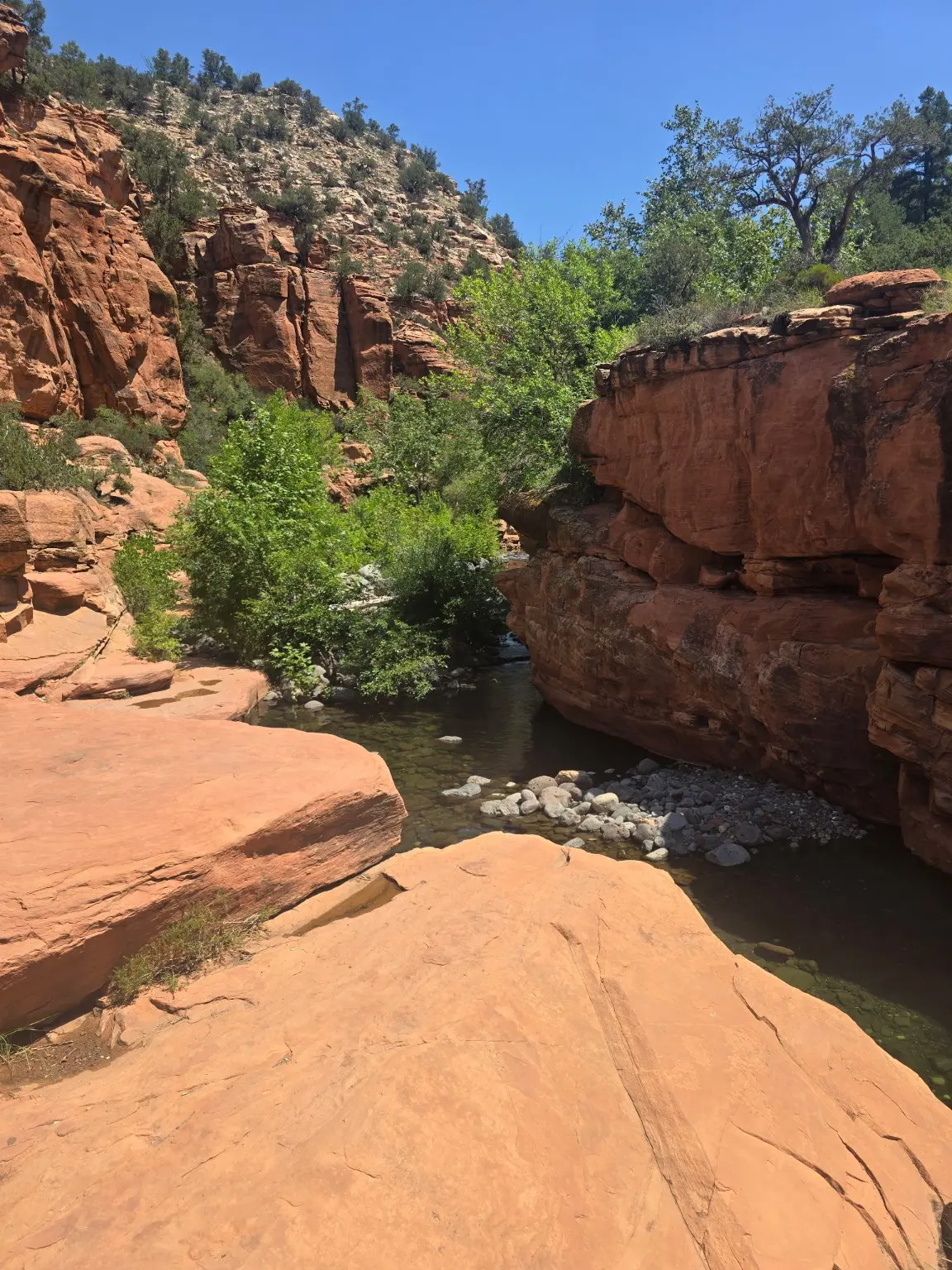
A rocky seven-mile round trip deserves a realistic plan. Preview the trail photos and read about parking, water, turnaround time and swimming safety.
Read the Wet Beaver Creek guide →
Explore a West Valley outing through original park photos, with cool-season planning advice and links for checking current conditions.
Read the Estrella Mountain guide →Before you head out: read our family hiking safety guide. Looking elsewhere? Browse all Arizona guides.